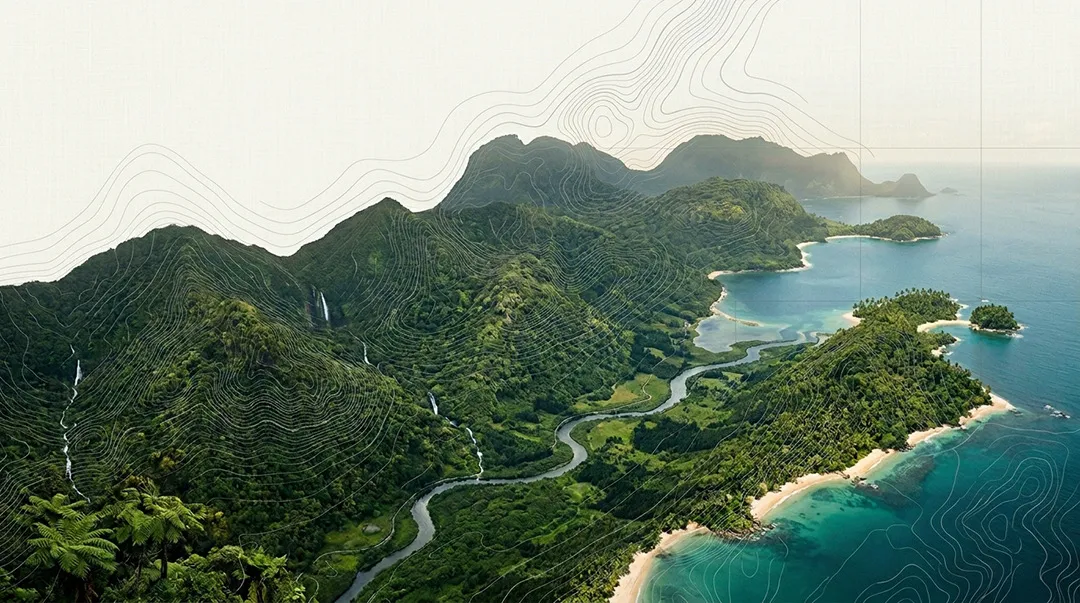
Ground-level work needs an aerial view
Drone imagery, spatial mapping, and documentary video for organisations working in complex environments — from infrastructure sites to remote communities.
A new vantage for complex environments
Much of the work Heath Design Studio supports – infrastructure programs, environmental projects, regional services, research in the field – is deeply tied to place.
Aerial imagery and spatial mapping gives that context a visual language. It shows scale, progress, and environment in ways that documents and data alone can’t.
This is a natural extension of the studio’s existing work. The same sectors. The same commitment to clarity. A new set of tools.
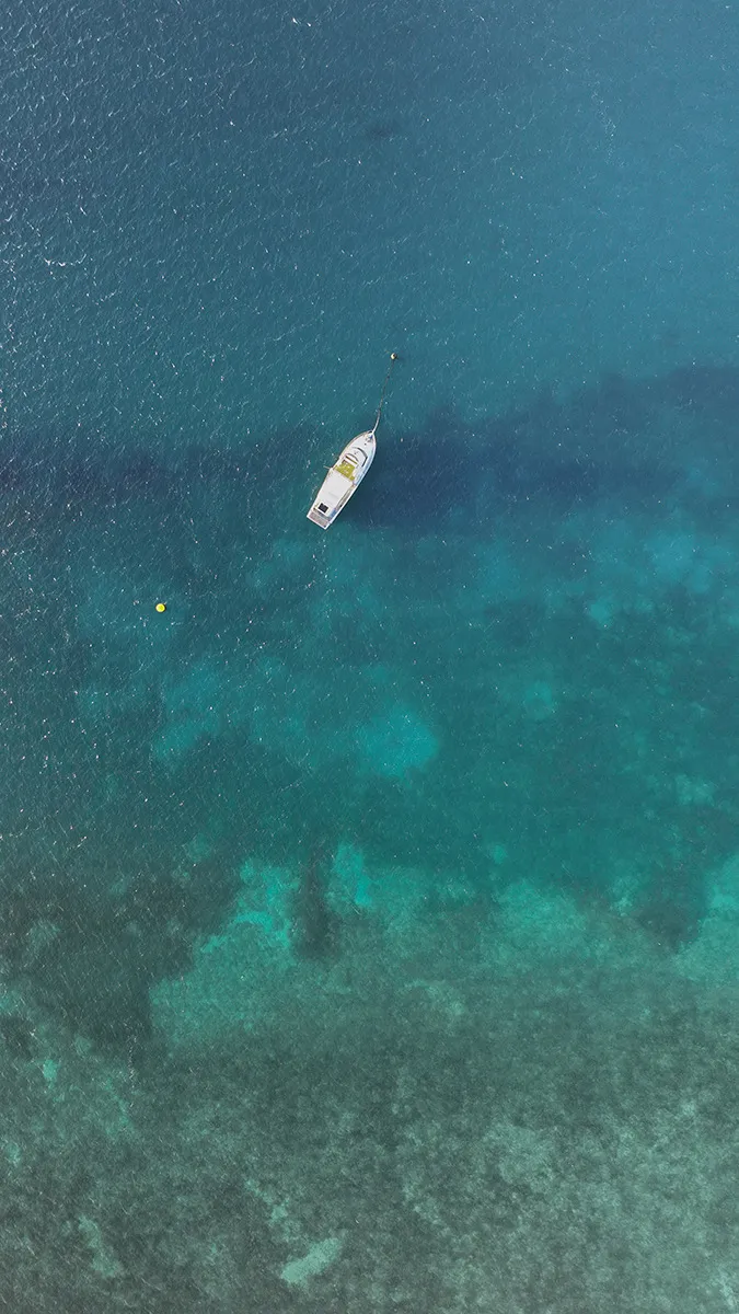
Experience backed by formal training.
Heath holds a degree in Aviation Technology and a Certificate III in Aviation (Remote Pilot), with a RePL licence issued by CASA. Ten years of film and video work across Queensland — including extended time in remote Cape York and Torres Strait communities, Heath has built practical understanding of operating in various environments.
Aviation Training
CASA RePL licence for licensed commercial drone operations in Australia.
Field Experience
Drone Photography for approximately 8 years across Queensland, including remote Cape York and Torres Strait communities.
Strategic Approach
Every project asks: what does this imagery need to communicate, and to whom?
Built for the sectors we know
These services are designed for organisations where accountability, context, and community matter — the same environments Heath Design Studio has worked in for years.
Aerial photography
High-resolution stills and video from licensed commercial operations.
Progress documentation
Scheduled aerial records across project lifecycles for reporting and archives.
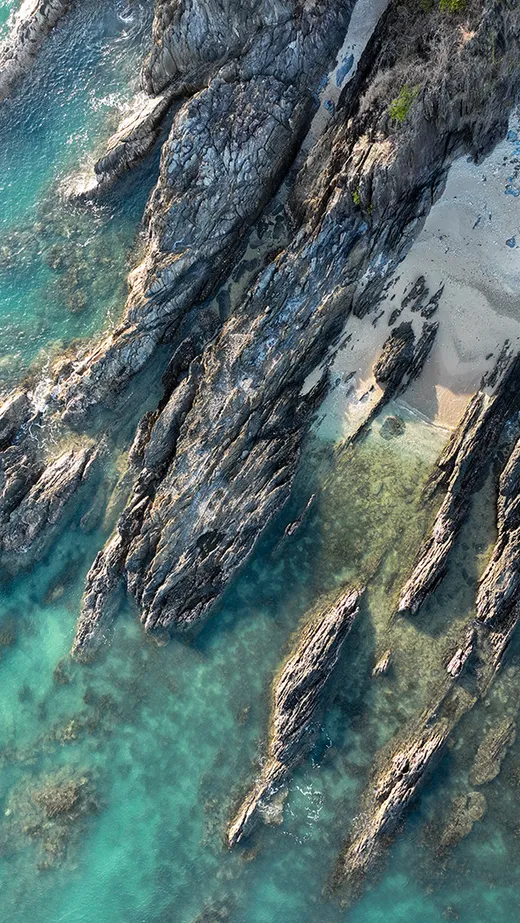
Environmental mapping
Georeferenced imagery for land management, monitoring, and site assessment.
Remote documentation
Video and imagery for programs in remote and regional areas.
Imagery that’s part of a bigger picture
Aerial operations at Heath Design Studio sit within a broader design and communications practice.
Every shoot is considered in the context of how the imagery will be used – what story it needs to tell, what audience it’s for, and where it will land. That means imagery arrives ready to work – in reports, campaigns, proposals, and presentations – without the gap between capture and communication that often slows projects down.
Fine print
Commercial aerial operations conducted under CASA RePL certification. Service availability subject to scheduling and operational readiness.
Now taking early enquiries
Aerial and mapping services are currently being brought to market. Early enquiries help shape capacity around real project needs.